With MA student Katie Eskew and with the help of Cliff Jenkins at the USDA in Jackson, I have been working to assemble DEM, DLG, orthophotos, satellite imagery, etc. for the Lower Mississippi Valley. This work is derived directly from the chapter I did on LMV settlement patterns with RC Dunnell (in the Time's River book). Yesterday, I got the LiDAR data for Tunica County, courtesy of Cliff. These are monster files - the county takes up 250 gigs - we have to mail hard drives around to share access to the data.
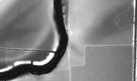
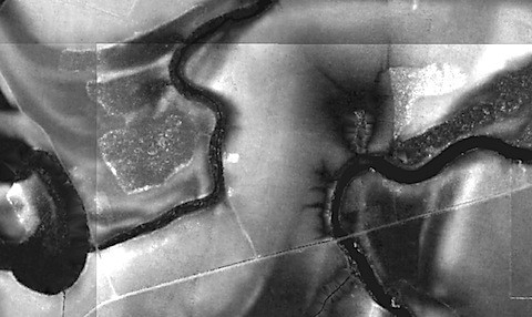
At any rate, the data are spectacular. With LiDAR one can pick up small elevation changes and identify them as potential earthworks. Here are some quick and relatively random examples. In the center of each image are features that appear to be mounds....
LIDAR
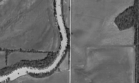
Orthophoto
LIDAR
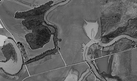
Orthophoto
No comments:
Post a Comment