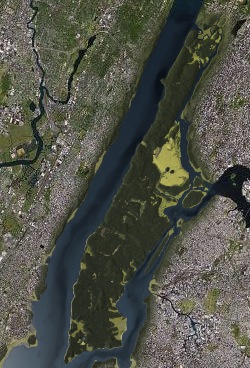
I've always been intrigued by the way in which past landscapes structure contemporary ones -- and how we can use our knowledge of shape of landscapes to explain why the environment we see today is the way it is. Cities are particularly interesting in this regard. The natural landscape often constrains and shapes the evolution of urban development and dictates the kinds of things that humans must cope with in order to do the business of being urban (i.e., transforming swamps to land, crossing rivers, knocking out hills, etc.). Perhaps the evidence of this interaction is nowhere better seen than in the shape and structure of Manhattan. The city has been so massively developed that one might think that isn't one shred of "natural" in the streets and buildings. Yet, that's not entirely true since the history of the growth of the city has had to embrace the natural features that long preceded Europeans -- streams, marshes, hills, geology, etc. Canal Street really was a canal at one point, built on top of a stream/wetland. Wall Street really is the site of an early historic wall, placed on a topographic high point when the island boasted a fort. And so on. An understanding of natural and historical world is required to understand Manhattan, as detailed in the amazing, insanely detailed, massive, chest crushing, Pulitzer Prize winning book "Gotham" by Burrows and Wallace.
Recently, the Wildlife Conservation Society has put together Mannahatta, a website dedicated to providing a way of understanding the natural heart of the island of Manhattan. It is pretty impressive. At the heart of the project is an interactive map of that shows the island as it was in AD 1609. The map allows you to look at a specific location and see where it stood in the Native American inhabited landscape of the early 17th century just prior to the arrival of Henry Hudson and other Europeans.
No comments:
Post a Comment