Showing posts with label mississippi river valley. Show all posts

Thursday, June 26, 2008

LMV 2008 Survey

You can view all of our photos from the LMV 2008 Survey by downloading:


http://www.csulb.edu/~clipo/LMV/LMS-Survey-2008.kmz

You might also try:

http://www.csulb.edu/~clipo/LMV/LMV-Survey-2008.kmz

and opening the file in Google Earth.


IMG_0163.JPG


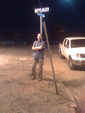
Tim hanging out at Blues Alley...


Wednesday, June 18, 2008

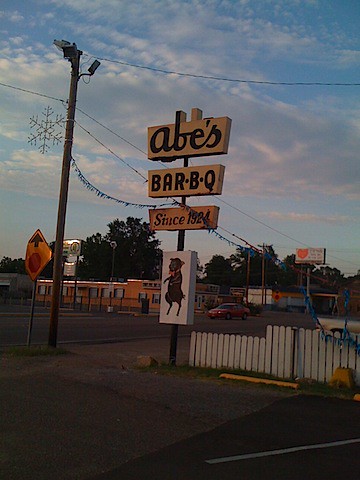
Abe's BBQ

Today we supped at Abe's BBQ in Clarksdale, MS. This little BBQ place is near the cross roads of Hwy 61 and 49 which, legend has it, Robert Johnson traded his soul. The BBQ is spectacular. For those in the know, it almost as good as Horton's in Kennett, MO. Really. Amazing BBQ with only marginal vinegary sauce, vinegar slaw and outrageous beans. The BBQ here is as good as any I have ever had. Holy cow delicious.

IMG_0135.JPG

Once again, Tim looks fondly at his BBQ pulled pork sandwich (and tamales).


200806182353.jpg

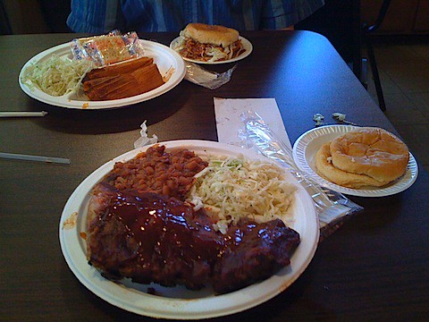
A seriously great plate of food.


200806182355.jpg

First Set of Mounds

Last night we hit points 1-4. The first point (2) was a mound located in trees beyond the Mississippi levee. It certainly is an earthen pile but it also has lower linear features extending parallel to the levee. This could mean that it is an old levee -- which could be where the mound came from -- or the mound dirt was used as part of the levee. It's hard to tell since the ground cover is entirely poison ivy and the actual surface is non-visible (no way to look for artifacts). Even if it was archaeological it may not have many artifacts around. So this first one remains an enigma.

The other points seems to be remnants of construction. There is a lot of development around here -golf courses, etc that creates lots of pile of earth. Given the older quad maps, these three seem to be recent in origin.

Tuesday, June 17, 2008

Tunica

We made it as far as Tunica today - not very far. We are staying at the glorious "Horseshoe Casino and Hotel" which is a crazy clump of hotels on the edge of the Mississippi. The casino itself is in an old meander of the Mississippi - now completely filled in -- on barges in excavated holes filled with water. I assume this is to meet the legal requirements of being a "riverboat" -- yet the river is probably a 1/2 mile away. Strange and sad. The northern points we are going to look at are around here and we should be back on the road shortly.

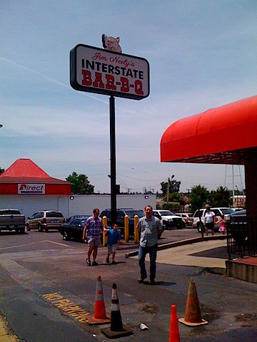
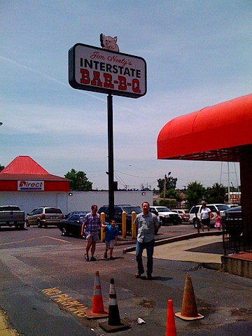
Jim Neely's interstate barbeque

Interstate BBQ


200806171423.jpg

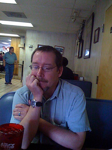
Tim sadly waits for his pulled pork...


200806171528.jpg

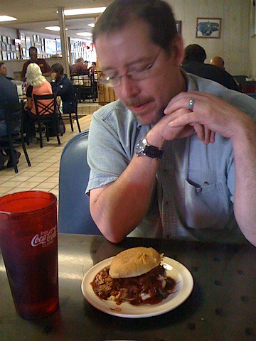
Tim looks lovingly at a pulled pork samdwich...


200806171528.jpg

The rest of lunch...


200806171529.jpg

Monday, February 26, 2007

Prehistoric Fortified Villages in the Mississippi River Valley

One of the projects I have been working on consists of mapping known (and previously unknown) earth works (i.e., spatially structured deposits) in the Mississippi River valley. As it turns out, there are hundreds of deposits that are either poorly known or not known at all by professional archaeologists (usually these are features that are known to local folks, but have yet to be systematically described). Working with Robert Dunnell and online aerial photographs, I have been trying to create the beginnings of an LMV database that brings together known site records with as many photographic images as we can pull together. Ultimately, this will be the basis of a larger project to systematically evaluate the valley.
To the right is a false-color infrared USGS image of 3MS59, a deposit identified by the Arkansas Archeological Survey. In this image, one can clearly see the large rectangular shape of the deposit and even some detail about the internal structure. The parallel lines on the perimeter of the deposit may indicate multiple episodes of construction or functional differences. Incredibly cool.